Using WebGIS for disaster management: An insight into the work of a defence scientist
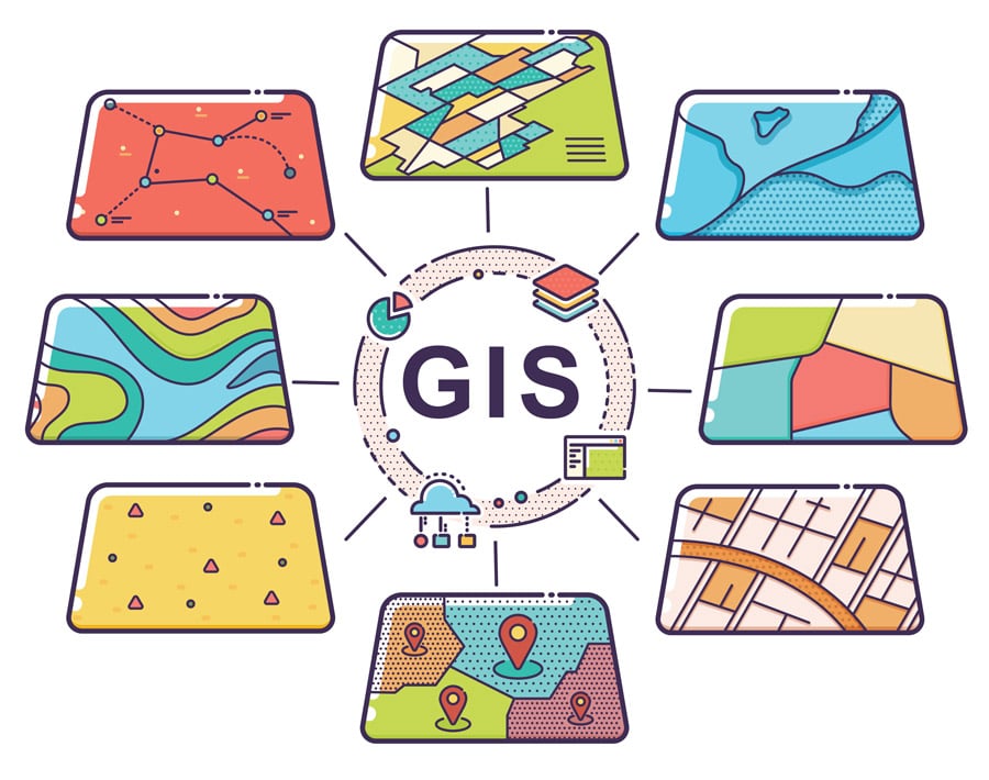
Geographical information systems (GIS) are an ever-growing technology that incorporate graphical features with data to help evaluate real-world features. In its simplest form, a GIS may be considered to be a high-tech equivalent of a map. However, GIS is not merely a way of showing information digitally, but a means of analysing information. For example, using information about elevation and rainfall, GIS could be used to predict how a city would be affected by flooding, and what building modifications would need to be made in order to prevent this.
This is the sort of work that defence scientists such as Dr Rifaat Abdalla do, using WebGIS to protect communities from natural disasters via disaster management. Dr Abdalla is Associate Professor in the Department of Earth Sciences, College of Science, Sultan Qaboos University, and specialises in GIS. He is a certified GIS professional (GISP) and has been working in the field since 2002, accomplishing ground-breaking work in disaster management.
What is disaster management?
Disaster management is an interdisciplinary science that uses numerous procedures and techniques to monitor and analyse the possible effects of a natural hazard with the aim to reduce or even eliminate the loss that may occur should a natural disaster happen. Disasters are usually managed through four phases: preparedness, response, recovery and mitigation. This is known as the disaster management cycle.
The application of geospatial technologies such as GIS for disaster management has meant that information on disasters can be produced easily, to aid decision support processes. Examples of Dr Abdalla’s work in disaster management are numerous, but some particular projects of note include his work in Canada, designing a spatial knowledgebase for infrastructure dependency that helps to mitigate flood risk.
Flooded with information
A knowledgebase is an organised body of knowledge that a computer system uses. This enables individuals to query the stored data, within the parameters of preset rules, to find answers to specific questions. Knowledgebases are incredibly useful when dealing with spatial problems, as they enable one to model and visualise how certain scenarios will affect a space. Dr Abdalla worked to create one such spatial knowledgebase for infrastructure interdependency. Infrastructure dependency is defined as the link between two or more critical infrastructure systems, systems such as transport or water treatment, in which any disturbance of one system could disturb the operation of the other. This spatial knowledgebase for infrastructure dependency was created so that effective decisions can be made about infrastructure if a natural disaster occurs.
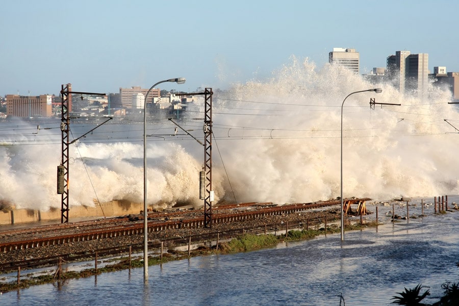
The information that Dr Abdalla used to create this knowledgebase was taken from the time that Hurricane Hazel struck Ontario, Canada, in 1954. Floods and storms severely impact Canada in the twentieth century. Hurricane Hazel caused the most severe flooding in Canadian history; it resulted in over $3 billion USD in damages and took at least 198 lives and 4,000 people were left homeless. The knowledgebase was therefore created so that effective disaster management decisions could be made, should another natural disaster as intense as Hurricane Hazel happen again.
With help from the Toronto and Region Conservation Authority with respect to the locations of water bodies, the National Topographic Database regarding land elevation, and the City of Toronto about infrastructure elevation, Dr Abdalla and colleagues, including Vincent Tao and Jonathan Li, were able to input data into the knowledgebase.
The application of geospatial technologies in disaster and emergency management is on the rise.
By ensuring that this data could be used to model potential scenarios by simulating flooding situations (for example by integrating GIS with hydraulic modelling tools), and validating these models, as well as carefully designing the knowledgebase with the user’s best interested at heart, Dr Abdalla and colleagues created a successful product with the capability to address emergency management decisionmakers’ needs. The product also used WebGIS, where the geospatial information required for the modelling of potential scenarios is kept online, so that information is readily available.
The application of geospatial technologies in disaster and emergency management is on the rise, due to the demand they generate. They are readily needed in the face of disaster. What makes this particular geospatial technology designed by Dr Abdalla and colleagues unique is the fact that not only is it useful in one context, but it is scalable, could accommodate more data when generated, is transferable (i.e. could be used for other locations with different infrastructure layouts), and it is easy to use as it provides strong visuals and reporting capabilities.
Policy work
Dr Abdalla has not only worked on the creation of such technologies, but has also spoken in depth about the policy issues that face disaster management decision makers. While spatial technologies such as the one described above are key for decisionmakers, due to the situational awareness and multiple response scenarios they can provide decisionmakers during an emergency, effective policies are needed in order so that they can be used efficiently during extreme situations.
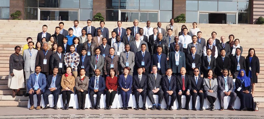
Unfortunately, there are many policy and administrative challenges that prevent this efficient use, that delay effective interoperability (the ability of computer systems or software to exchange and make use of information) and integration of geospatial information products and systems. Dr Abdalla spoke about these challenges in 2017 at the United Nations International Conference on Space-based Technologies for Disaster Management in China. Organised for the purpose of providing a platform to share experiences and gather new ideas on integrating space applications in support of efforts to reduce disaster risk, many people at the conference spoke on the topic of how to improve resilience to natural disasters through the use of geospatial technologies.
There are three important global frameworks that call for this sort of work, namely the 2030 Agenda for Sustainable Development, The Sendai Framework for Disaster Risk Reduction 2015-2030 and the Paris Agreement. All three frameworks call for improved approaches to integrating spatial applications for disaster reduction.
For planning and responses to natural disasters to be effective, geospatial solutions must be integrated into decision making.
In total, 90 participants from 32 countries representing organisations from civil protection to national disaster management were involved in the conference. The participants shared views and ideas on policies and protocols to remove major obstacles in providing disaster emergency managers with timely access to accurate information products derived from geospatial technologies.
Dr Abdalla’s presentation helped to promote critical dialogue and communication among the different participants at the conference. His presentation introduced an assessment of operational and policy related gaps that hinders decisionmakers’ from working effectively. He did this by evaluating the preparedness levels of the City of Jeddah, Saudi Arabia during flash floods in 2009, 2011, and 2014, explaining that a lack of operational policies and data-sharing protocols were the major barriers to providing emergency managers with timely access to accurate location information.

For planning and responses to natural disasters to be effective, geospatial solutions must be integrated into decision making. This integration needs to be supported by talking about the benefits of geospatial solutions so that decision makers are aware of their benefits. The 2017 UN disaster management conference was aimed at providing a platform on which to share experiences and to gather new ideas. By speaking at the conference, Dr Abdalla supported efforts to reduce disaster risk.
A holistic approach
In order to improve resilience and to prepare for disasters, a holistic approach to disaster management needs to be taken, that integrates not only effective technology, but also effectual policy. By combining his knowledge on policy, and expertise in creating GIS technologies, Dr Abdalla is paving the way forward in using WebGIS for disaster management.
Personal Response
Where do you see advances in WebGIS being made in the next decade?